Home/Fast, Frequent Surveys Keep Fiore’s ‘Red Rocks’ Project On Schedule, On Budget
Fast, Frequent Surveys Keep Fiore’s ‘Red Rocks’ Project On Schedule, On Budget
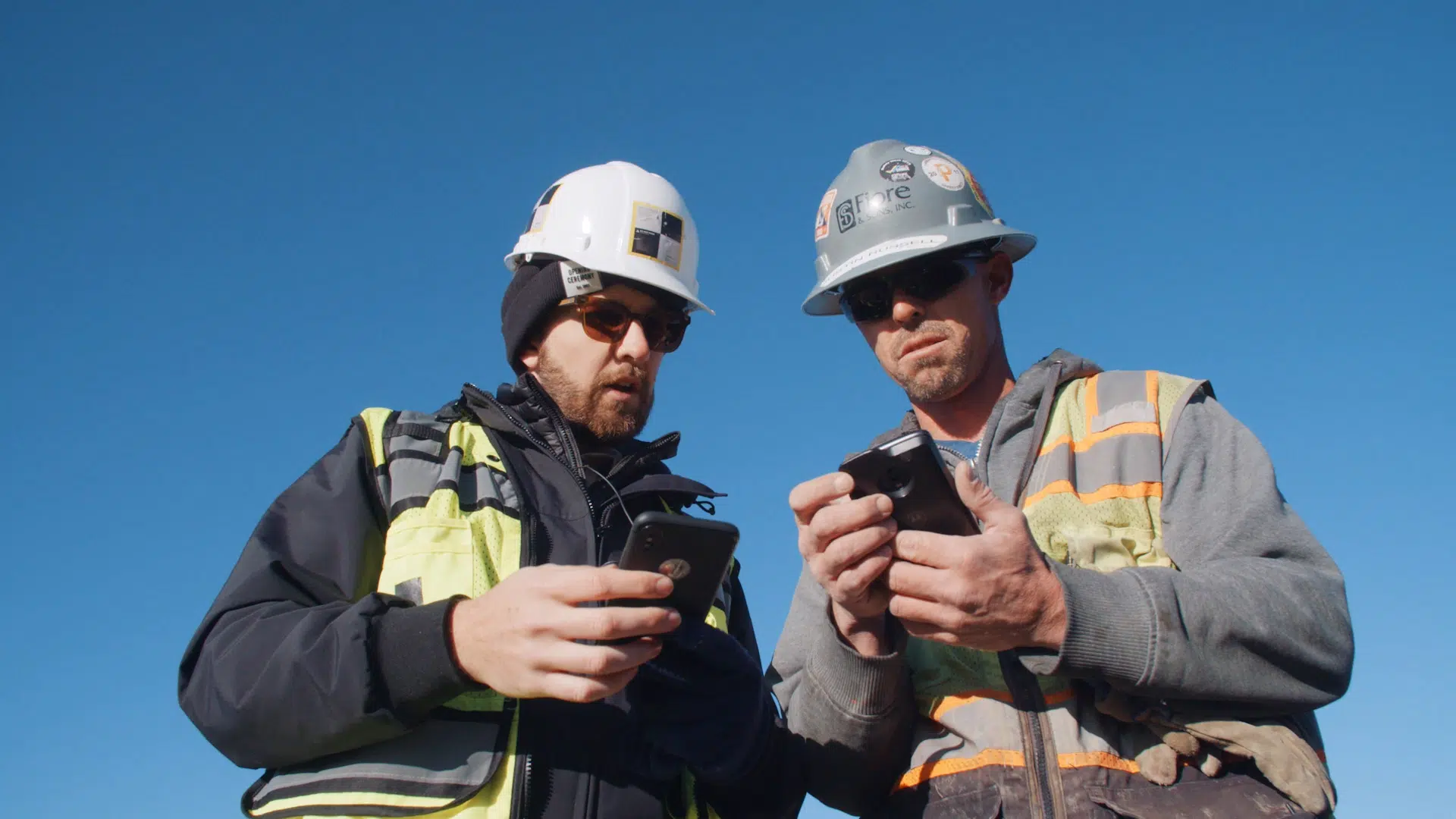
Fiore is using Trimble Stratus, powered by Propeller. Trimble, the global leader in positioning technologies, was an early partner of Propeller. With SITECH, the global distributor of Trimble solutions, we work to deliver Trimble Stratus’s survey-grade drone data capabilities to contractors of all sizes in the heavy civil industries.
As a family-owned construction company, Denver-based Fiore & Sons Construction is committed to delivering superior, consistent work on every project. It’s their reputation for precision and project excellence that has led clients to seek them out again and again. It’s the reason Fiore has been able to establish themselves as a reliable partner for over 60 years.
Led by Head of Survey Justin Russell, Fiore has been using Propeller’s drone surveying solutions to topo for over a year. With Propeller, Russell has been able to collect survey-grade topos significantly faster, and more frequently, than he was with traditional methods.
The in-depth measurements Russell has been able to perform with that survey data has translated to actionable insights into Fiore’s progress and productivity. That has empowered them to improve efficiency across the organization.
Conquering a 300-acre earthwork project
Russell has also been instrumental in introducing a wide spectrum of users to the platform. Most of them are now regular users, taking measurements and gathering insights on their own. The best part? They no longer have to go through Russell to get that data.
In March, Fiore broke ground on a huge, 300-acre earthwork project in Morrison, CO they’ve labeled the “Red Rocks” project. Over the course of the project, they will move a little over five million cubic yards of dirt in a year. That’s a massive undertaking for Fiore, and would be for any self-performing earthmover.
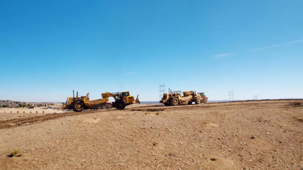
Fiore’s advantage: Propeller PPK
In the world of construction, every bid is competitive. Distinguishing yourself as a business that can reliably do the work to spec and on time is crucial. The more confidence a project owner has in your team, the more likely you are to win the project—and to keep winning them as your relationship with the client strengthens.
As a believer in the power of construction technology to optimize project efficiency, Russell has long sought new ways to keep Fiore competitive.
“Technology is always going to drive the industry,” says Russell. “If we can get that little bit of an edge on our competitors, then we’re going to take it.”
For Russell, using drones to survey his sites was a no-brainer. He’s been using Propeller’s PPK drone surveying workflow to topo his sites for a little over a year. He’ll be using it again on the Red Rocks project—something he sees as a necessity for such a large site.
“The technology that Propeller offers is saving us a bunch of time in the field,” says Russell. “Everything before that had to be done by hand, either with a GPS or total station, would have taken days. Now, I can do it in a couple hours with a drone and get more accurate data.”
Because he’s able to survey faster with a drone, he’s topo-ing his site more frequently. With weekly surveys at his fingertips, he’s better able to track progress, catch mistakes earlier on, and keep the project moving smoothly.
As the one who both flies the drone and verifies the data collected (along with all his other surveying duties), Russell can’t afford to waste time behind a computer processing the data himself.
With the PPK workflow, he hasn’t had to. After he flies his drone, he simply uploads the georeferenced images to the platform. Once it’s uploaded, we take care of it for him. While the data processes, Russell can visit his other sites to conduct more flights and devote more time to more fine-grained survey work that necessitates other equipment.
The benefits of drone data across the board
For the Red Rocks project, Russell is flying the entire site once a week. Once he has the data back, he goes over the quantities with his team to make sure everything is moving according to plan.
“I get with the foreman and the supervisor and go over what they have in the budget,” says Russell. “With the drone survey, we can tell if we’re staying under budget and if our quantities are matching or not.”
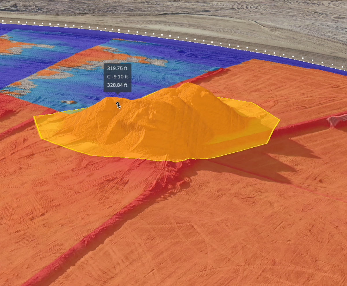
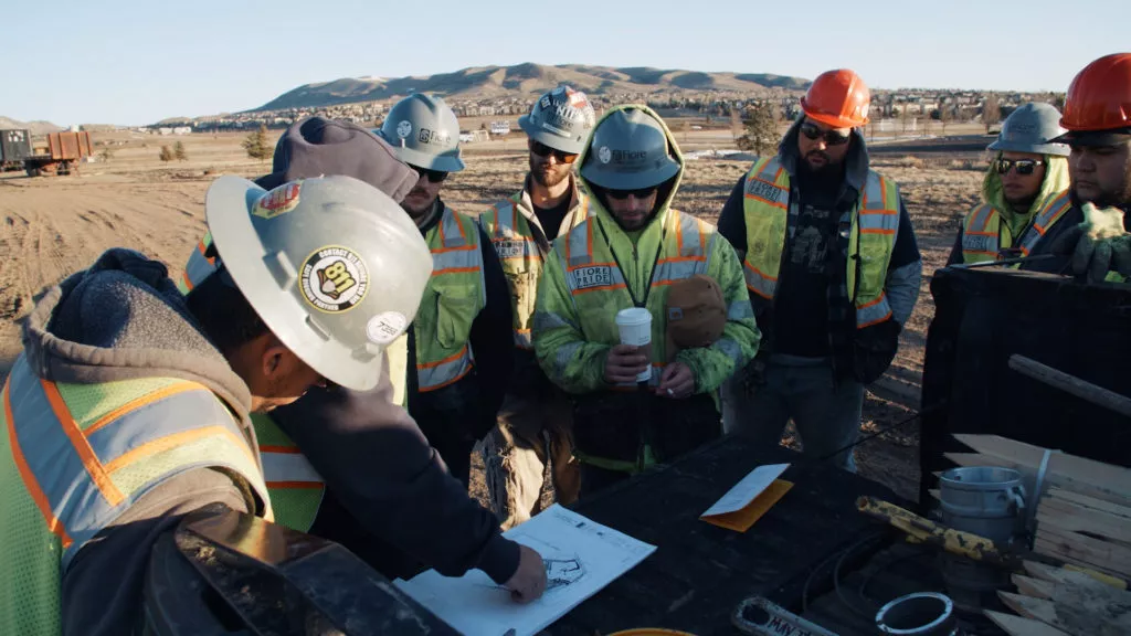
While Russell is the primary user of the platform, he’s not the only one benefitting from its interactive 3D models and measurement tools. Multiple stakeholders have access and, throughout the Red Rocks project, are using the platform to check progress on site—without having to request that information from Russell.
“One great thing about Propeller is that anyone can use it,” says Russell. “You can give anybody permission to get into your site. They can go in, see what’s happening, and get quantities off of it. Anything from simple stockpile quantities to a comparison against design.”
Now, everyone who needs them has access to accurate topos. And, critically, they all have access to the same topos in the same location. With the shared source of truth that the Propeller Platform offers, Russell and his team are collaborating better. They’re able to more easily assess the state on the ground and make mission-critical decisions.
“Whether we move too much or too little, we want to try to figure out why and prevent it from happening again,” says Russell. “Communication is key. If everybody knows what’s going on, then things are going to go smoothly.”

Want to know how Propeller can help you?
Learn more about Propeller’s products, pricing, and how to get started on your site.
