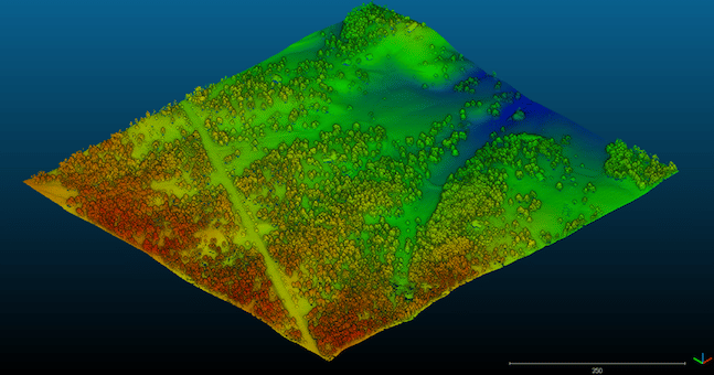

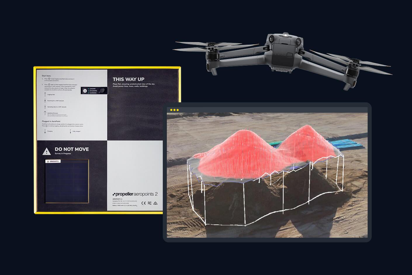
Learn what a point cloud actually is and then how drone data is integrated with a point cloud to build a 3D worksite model.
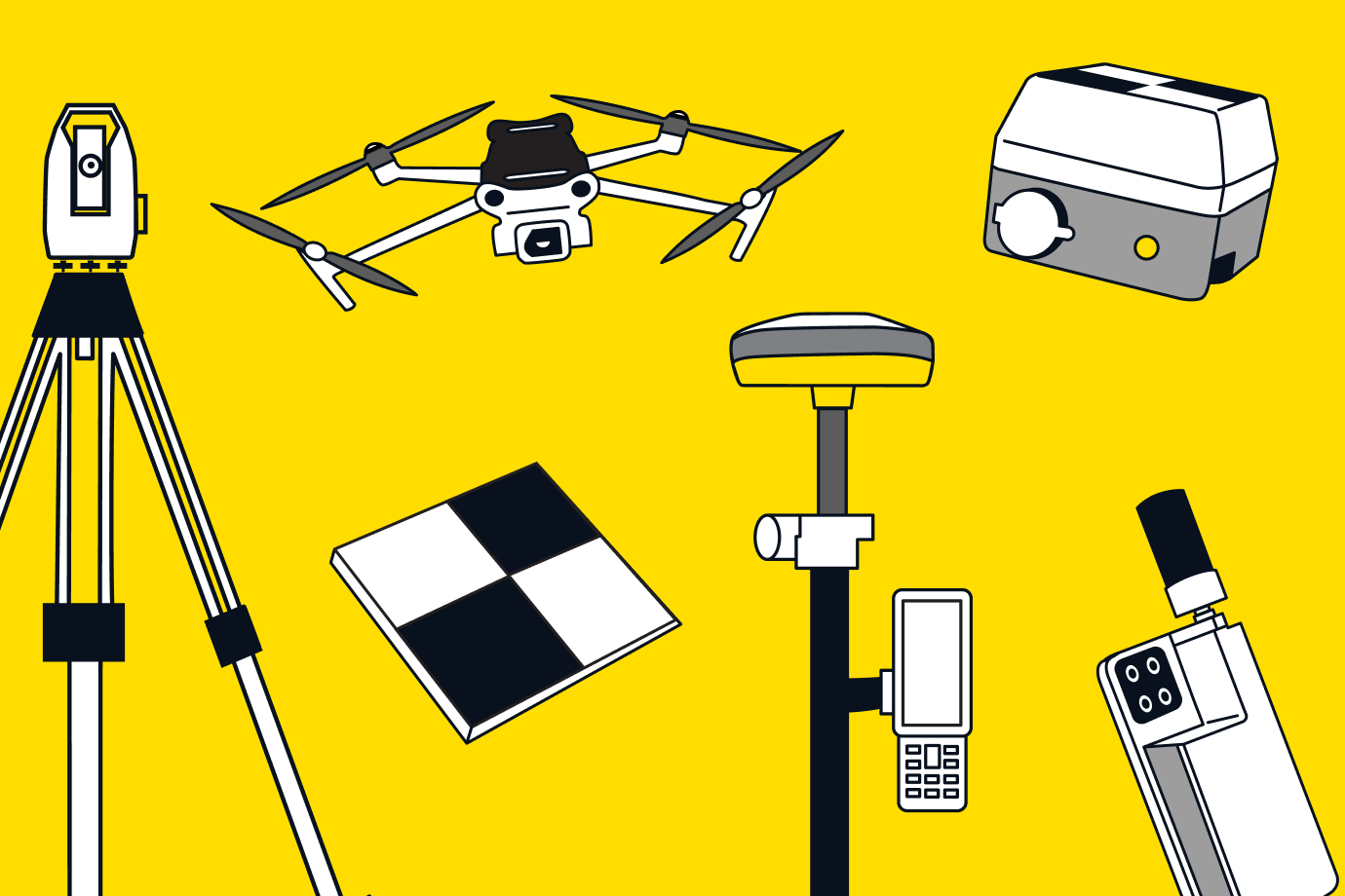
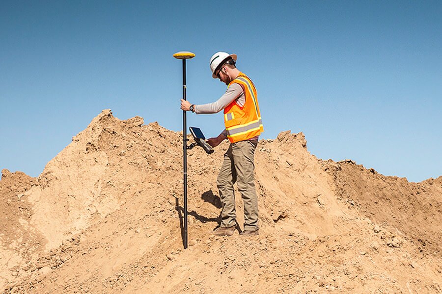
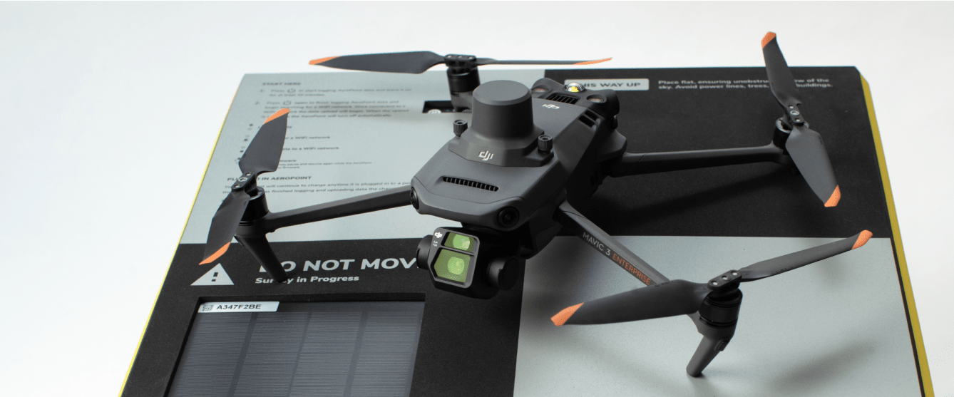
Capture your reality with confidence and control
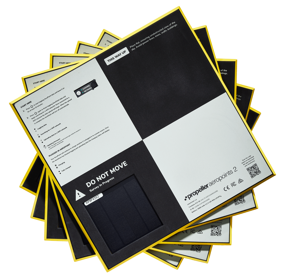
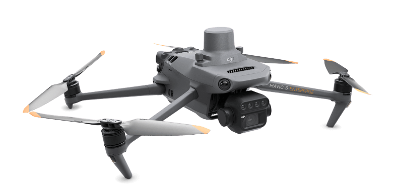
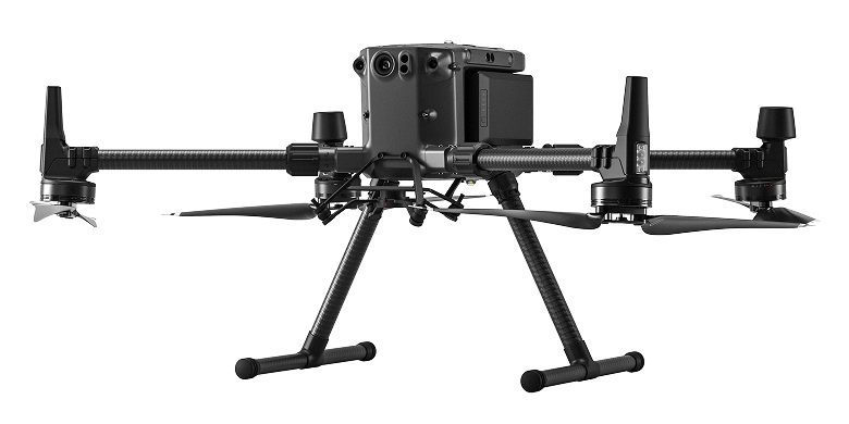
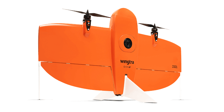
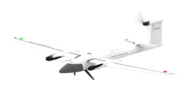
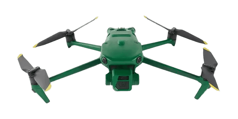
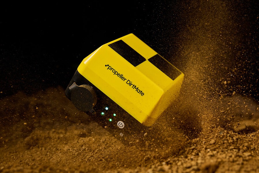
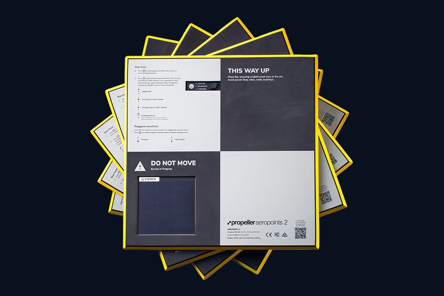
Propeller’s hardware integrations adapt to any environment, project, or use case.