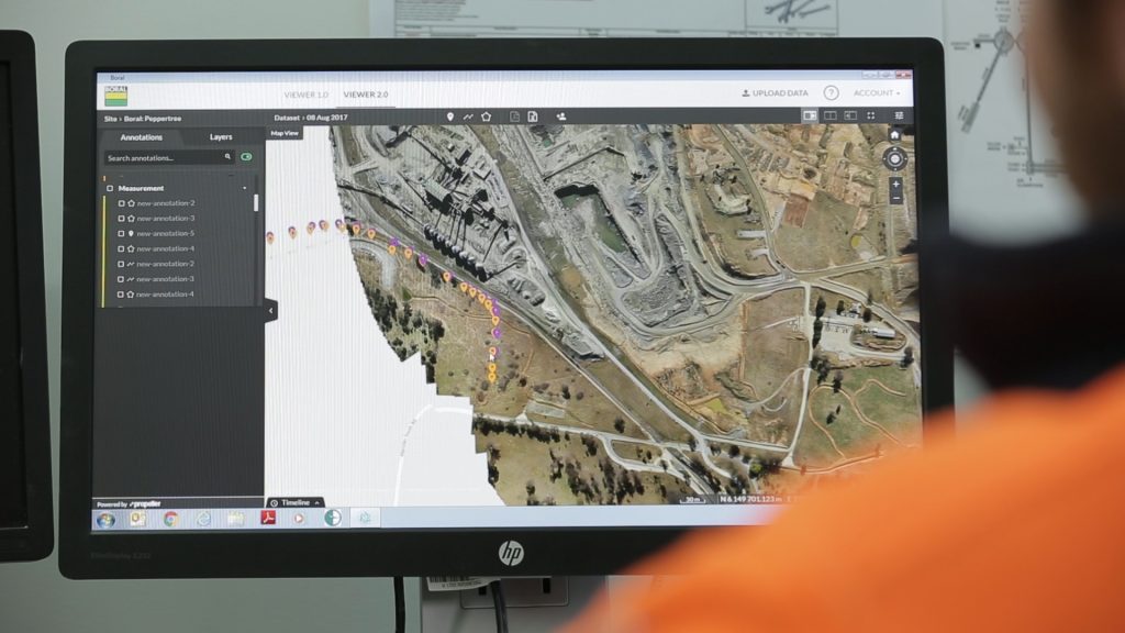
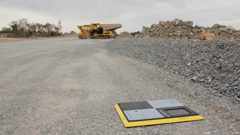
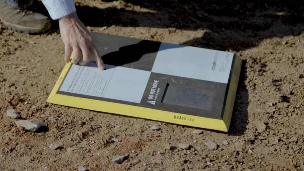
AeroPoints™ provide a critical reference point on the ground of a worksite, enabling effective survey-grade drone data capture. When used correctly, AeroPoints can significantly improve PPK accuracy.
One of the most common questions we hear from customers is this:
Should I use one or multiple AeroPoints to validate my survey data?
The answer is, you can do both.
With Propeller PPK, it only takes one AeroPoint to serve as a ground control point (GCP) on most worksites. In contrast, traditional ground control typically requires manual shooting and marking of several points on your worksite, depending on size.
When working with multiple AeroPoints, they’re no longer functioning solely as GCPs but as validation checkpoints. These independently verify PPK data against known points on the ground.
To learn more about the difference between GCPs, RTK, and PPK, check out this post.
With Propeller PPK, one AeroPoint replaces ground control

When you buy Propeller PPK, you’ll have the option of purchasing either a single AeroPoint or a pack of five or ten in addition to the drone.
With just a single AeroPoint, you’ll be ready to capture accurate survey data.
That’s because you only need one AeroPoint to function as a base in Propeller’s PPK workflow. An RTK-enabled drone accurately records its position in flight—which is then triangulated with the AeroPoint and satellite data.
In essence, every image the drone captures becomes its own GCP.
If I only need one AeroPoint for PPK accuracy, why purchase five or ten?
Great question! There are a few good reasons to buy additional AeroPoints over and above the one that’s strictly required.
Reason #1: Improve accuracy on local grids
We know how important it is to support our customers when they’re working with local coordinate systems.
If you’re working on a local grid, we highly recommend using at least three AeroPoints for the best results. The first will act as primary ground control, while the other two AeroPoints allow for correction of any rotational or scale errors that might be invisible with a single AeroPoint.
Reason #2: Large sites and corridor flights
While a single AeroPoint allows you to collect accurate PPK data for a survey area up to 150 acres, larger sites will require another AeroPoint for every additional 50 acres.
For the same reason, linear or corridor missions (like roadwork sites) also need multiple AeroPoints for accuracy due to their unique survey footprint. We suggest placing an AeroPoint every 0.75 miles, including the beginning and end of the corridor, for best results. (For example, to accurately survey a corridor four miles long, you’d need six AeroPoints.)

Reason #3: Deeper level of data validation
Some professionals prefer the certainty of having more points on hand to ensure they can validate data through multiple checkpoints. For workflows requiring independent validation, five AeroPoints can provide the validation you need.
Propeller processes and verifies all of your data. We compare the data collected from each AeroPoint and automatically generate a survey-quality report.
Report in hand, you can rest assured that the data you’ve collected meets your accuracy requirements. Validating results like this can soothe PPK skeptics and help you navigate a contractor dispute with less back and forth.
Reason #4: Backup for a “rainy day”
AeroPoints are designed to be industrial-grade. They’ve survived harsh worksite conditions, including being run over by massive pieces of construction equipment—but that said, they’re not indestructible.
Like most electronic devices, if an AeroPoint is submerged in water (say, during heavy rain or flooding), the unit may fail if water penetrates the seal. Sometimes machinery rolls over and breaks an AeroPoint. And, strangely, we’ve even lost a few units to cows, who apparently find them tasty!
Learn more about how to care for your AeroPoints in this quick reference guide.


