Try Propeller today
Create an account to unlock the power of the Propeller map. You’ll calculate volume, measure elevation and visualize progress to design in just a few clicks.
Prefer talking to an expert instead? Contact us.
Designed to solve everyday worksite challenges
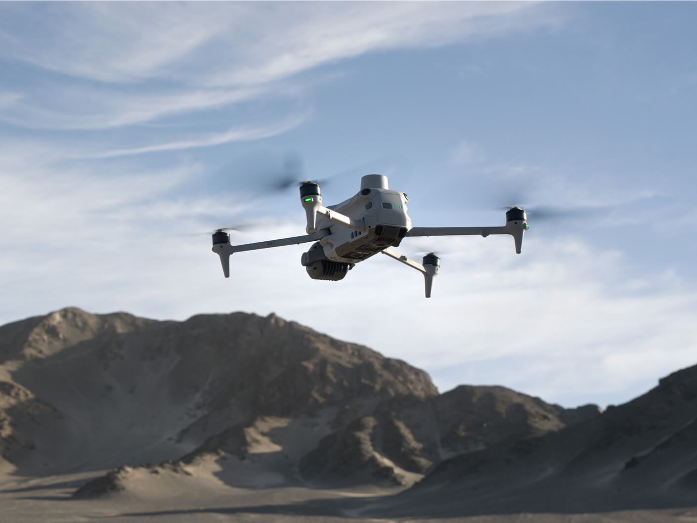
Map and capture
Turn site data into visual insights. Build accurate maps that unify different data sources and document your work from planning to closeout.
Measure
Get precise measurements across your site. From distances and volumes to heights and grades, measure exactly what matters.
Track
Monitor progress and know your position. See trends, identify issues, and ensure your projects stay on track.
Organize
Streamline your workflows. Keep projects tidy, permissions secure, and data easy to access when and where you need it.
Plan ahead
Stay ahead of site challenges. Analyze flow, elevation, and runoff to predict outcomes and make smarter decisions.
Collaborate
Bring your teams together. Share data, reports, and visuals that connect the field to the office, keeping everyone aligned.
Propeller’s end-to-end mapping workflow
A full-integrated solution that helps your people do their best work.

Propeller
Make the map a meeting ground where your project teams can access critical insights on their own
- Anywhere, any device access
- Interactive 3D survey experience
- Simple reporting + analytics templates
- Surface comparisons + conformance checks
- Flexible data integrations
- Centralized media + 360 photos
- Real-time team collaboration
- Single-time sign-in
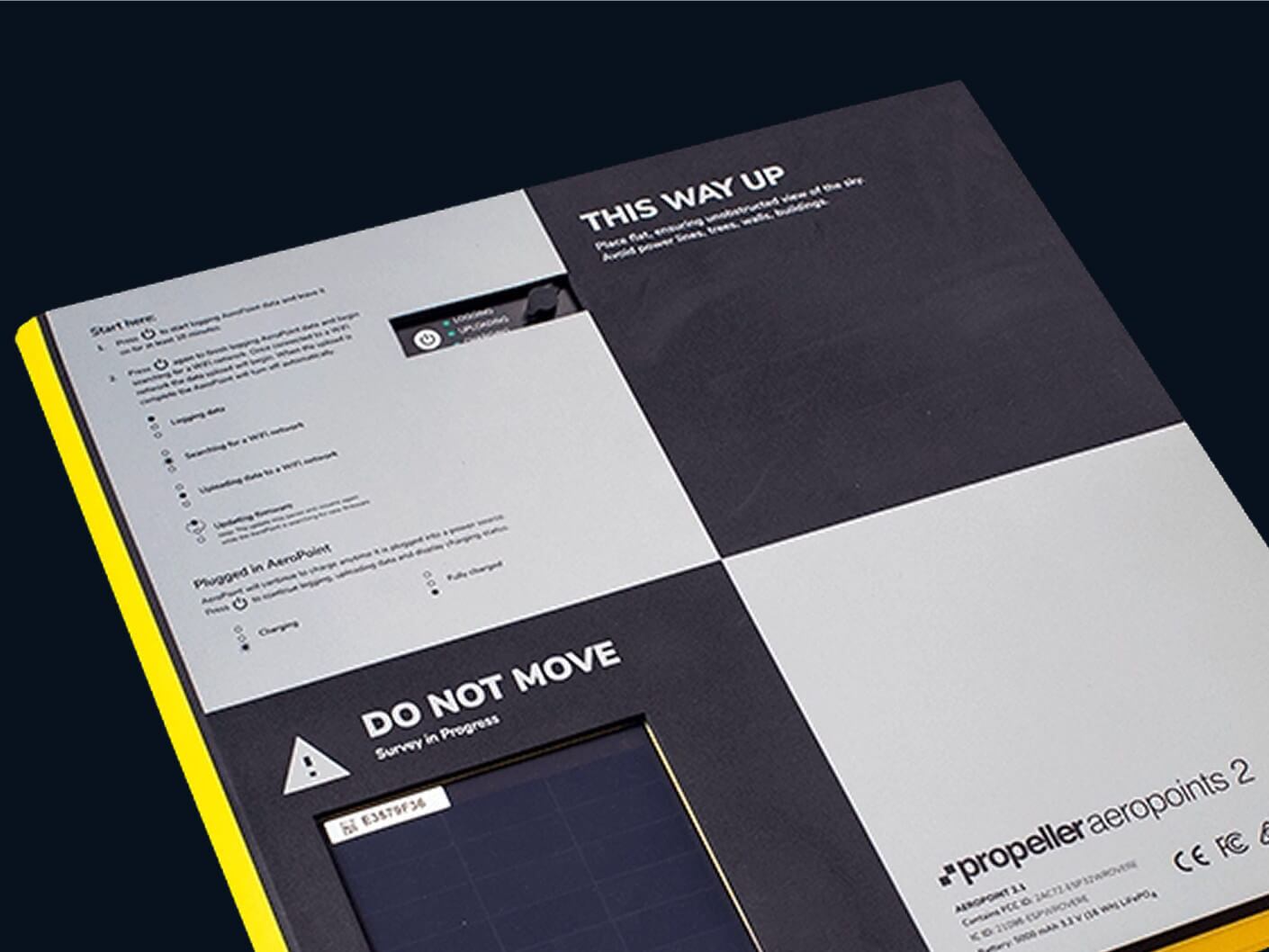
AeroPoints
Manage AeroPoints usage, monitor hardware health, and run accuracy diagnostics from a personalized dashboard.
- Accuracy reports + verification
- Real-time diagnostics
- Survey management
- Complete flight history
- Expansive library of how-to articles
- On-demand hardware support

DirtMate
Production teams use the DirtMate Dashboard to track daily volumes and access productivity insights.
- 2D cut-fill heatmaps
- Survey-grade surfaces
- Machine haul road metrics + cycle counts
- Daily machine utilization metrics
- Automatic data corrections
- Real-time machine locations
- Customizable reporting dashboards
Survey processing
Scale up at your own pace, without adding resources, Just drag and drop your dataset into Propeller, and we’ll send back a high-accuracy 3D map in return.
- One-click drag + drop
- CRS database with 5,000+ systems
- Local CRS setup + support
- Personalized QA criteria
- Data pre-checks to ensure accuracy
- Quality reports on blur, contrast, and ISO
- Seamless AeroPoints integration
- Custom output configuration
All your FAQs, answered
No but if processing is required for you to get a clear understanding of how Propeller will work for your business case, feel free to use the Contact Sales button in the platform to request and someone from our team will reach out and assess.
Your access to your own data visualized in Propeller is only available for 14 days, however your access to the rest of our demo sites continues for as long as you maintain an account.