“I think the datasets speak for themselves. It’s nothing that you have to bring anyone onboard with. It’s data that’s intrinsically and obviously valuable.”
Matt Eklund
GPS Program Manager, Sukut
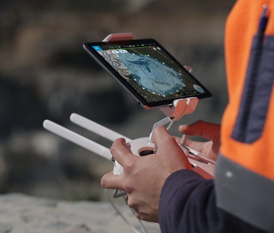
Enhance your aerial surveys with our specialised ground control points (GCPs), UAV mapping services, and advanced ground control technologies. Gain insights into the effective use of GCPs in photogrammetry to achieve accurate 3D models.
Learn the top techniques for positioning and marking GCPs in your surveying projects, and see how Propeller AeroPoints stack up against traditional GPS ground control points for drone mapping.
Delve into the advantages of using smart ground control points instead of standard GCPs in drone surveying. Discover how these advanced technologies can boost the precision and efficiency of your aerial surveys.
“I think the datasets speak for themselves. It’s nothing that you have to bring anyone onboard with. It’s data that’s intrinsically and obviously valuable.”

“Propeller’s outsourced processing gets us data back much faster, and the accuracy is great. The whole process is so easy, I could almost have my kid do it”.
Make the map a meeting ground where your project teams can access critical insights on their own.
Manage AeroPoints usage, monitor hardware health, and run accuracy diagnostics from a personalized dashboard.
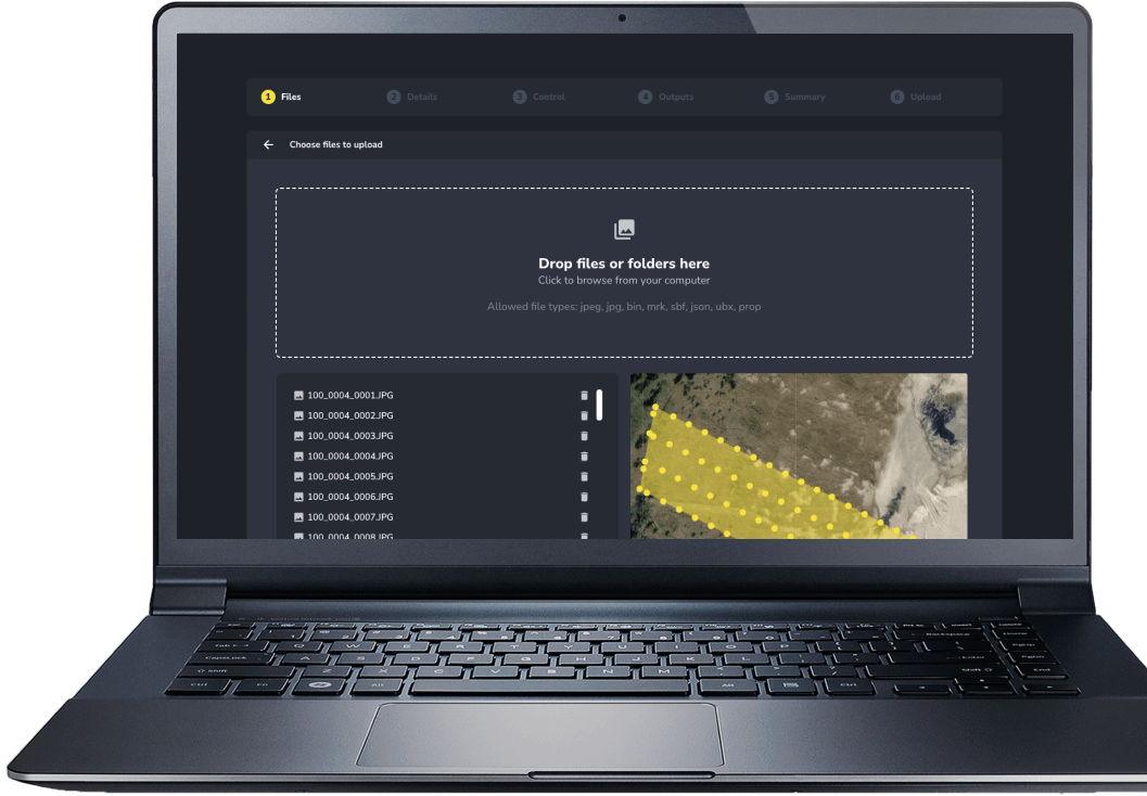
Scale up at your own pace, without adding resources. Just drag and drop your dataset into Propeller, and we’ll send back a high-accuracy 3D map in return.
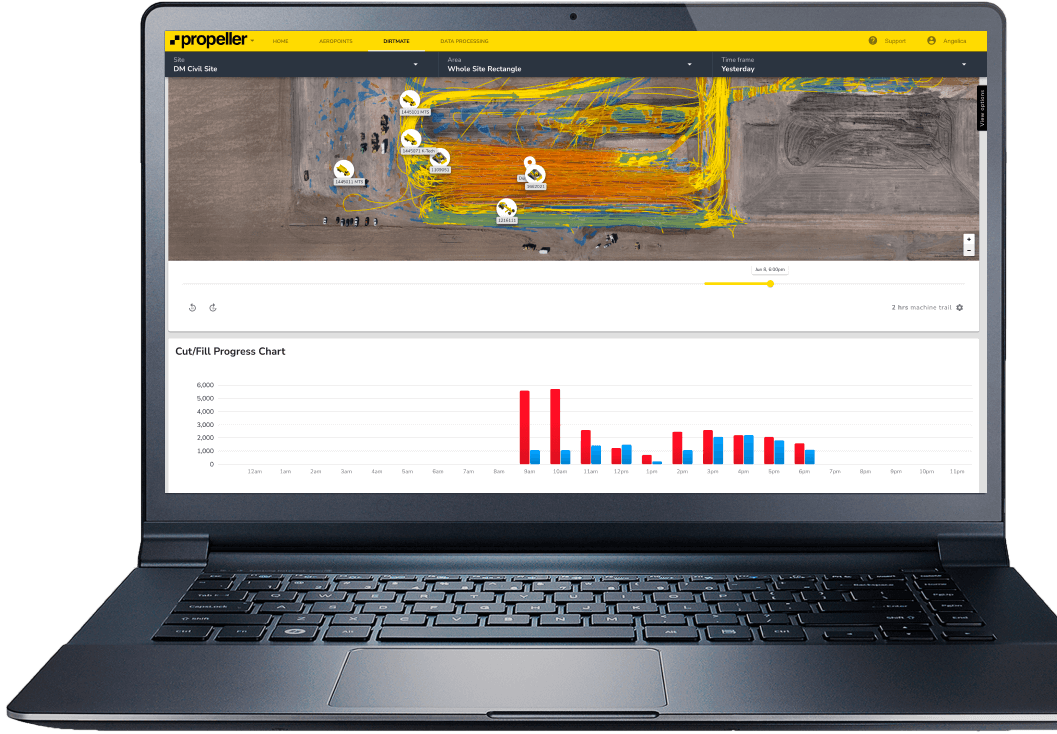
Production teams use the DirtMate Dashboard to track daily volumes and access productivity insights.
We’ve broken down our entire Propeller offering into three easy-to-follow modules.
Drone setup
AeroPoints overview
Flight checklist
Data capture workflow
Platform overview
Measuring with survey data
Managing your site
Files + collaboration
Reporting