Replace guessworkwith great work.
R
e
p
l
a
c
e
g
u
e
s
s
w
o
r
k
w
i
t
h
g
r
e
a
t
w
o
r
k
.
Forget 2D drawings. Bring your site to life with interactive 3D surveys that your team and clients can understand.
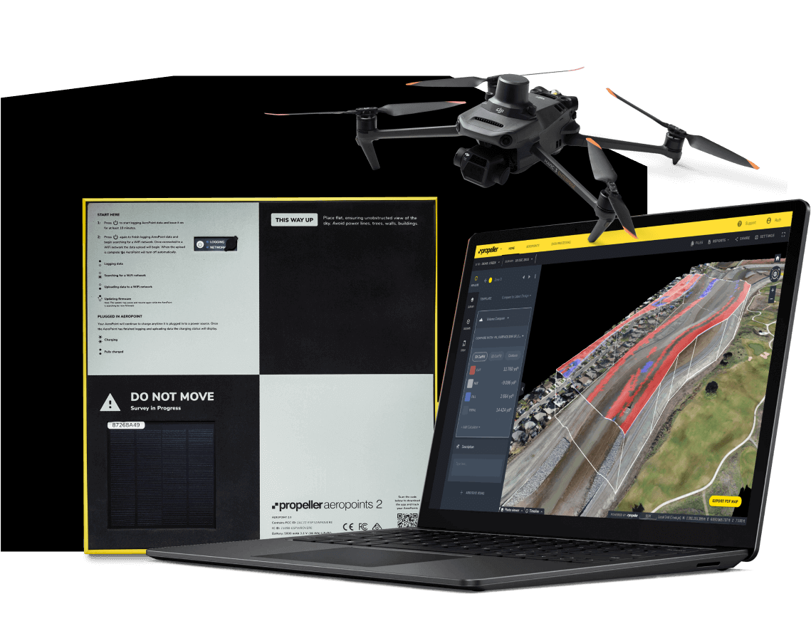
Take the complexity out of data capture with the only fully-integrated drone surveying workflow that bundles AeroPoints, high-accuracy drones, and cloud-based software.
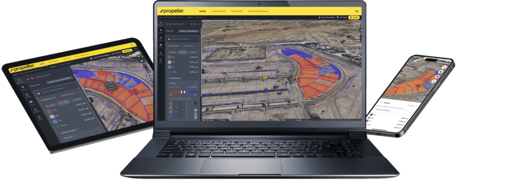
Whether you’re on a laptop or a mobile, you can build a bridge between the office and worksite with Propeller.
From data capture, to processing, to the 3D model output, your Propeller map works harder.
From design conformance checks to quick volume calculations, you can manage survey data, sitework, and team productivity from one central hub.
You can know your site inside and out and empower your team to collaborate with confidence.