Propeller Aero & Trimble
Edgerton uses Trimble® Stratus, Powered by Propeller. Trimble, the global leader in positioning technologies, was an early partner of Propeller. Our teams work closely together to deliver Trimble Stratus survey-grade drone data solutions for the heavy civil industries.
Earning a seat at the project planning table is not only an honor, it’s a competitive edge that not many construction companies are afforded. Edgerton earned that seat with advanced technology, and has retained it as a trusted partner and key stakeholder in the planning process. Based in Wisconsin, Edgerton has served as a premier earthmoving and construction company since 1957.
“When we started flying drones, we didn’t know if it was a good idea. Trimble Stratus is the third or fourth solution we’ve had,” commented Jeremy Craven, vice president at Edgerton Contractors.
When considering a new drone data provider, the Edgerton team had three primary needs:
- Efficient method for monitoring earthflow quantities on large sites
- Georeferenced imagery to assist site design in Trimble Business Center
- Efficient way to measure material inventories in large stockpiles
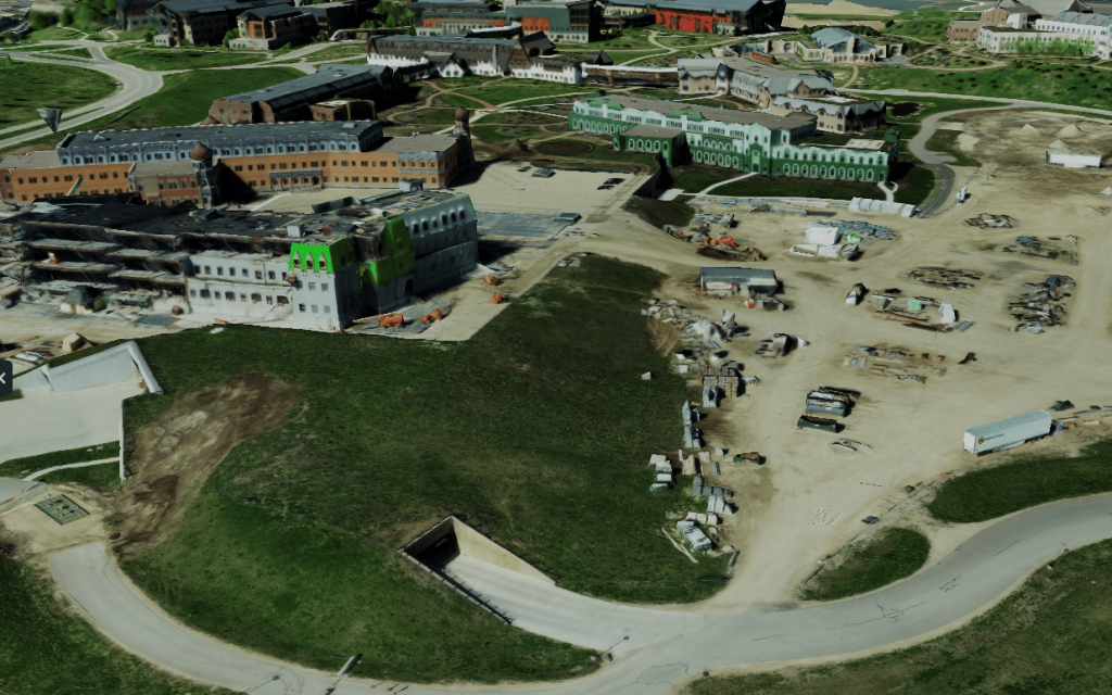
Not only did Edgerton meet these needs with Trimble Stratus, the team now flies their sites on a weekly basis, generating interactive 3D maps in Trimble Stratus, taking accurate measurements of materials on site, and experiencing high confidence in all data received (without having to process anything themselves!).
“Trimble Stratus is really intuitive and easy to understand for anyone on the job site,” Craven added.
Leveraging high-quality survey data in the planning process
“We’re the earthwork contractor and the keeper of the as-built survey data. A lot of the project planning goes through our office because we have accurate survey data. Offering this kind of tool [Trimble Stratus] to the planning team keeps us at the table and relevant with all the designers. For a contractor to be at the planning table, that’s a big deal. We get early insight into upcoming projects, which gives us more time to strategize and prepare than our competitors.”
Accurate survey data is critical to the process. Think about it this way, “surveys are about winning arguments. The more quality, accurate data you have, the better prepared you’ll be to win those arguments,” Craven explained. The same is true for winning bids. The better your data, the greater your chances of winning those bids.

Accuracy and autonomy driven by technology
Beyond the bidding process, accuracy plays an essential role in measuring material quantities on site. For example, Edgerton’s drone program, supported by an alternative provider, allowed them to measure with accuracy up to 4/10 of a foot. Although this is not terrible when looking at big stockpiles, it is not ideal when trying to figure out whether the site is on-grade or when trying to lay down 12 inches of stone. If accuracy is only 4/10 of a foot, that’s half your material you could be missing.
With Trimble Stratus, Powered by Propeller, “After you fly, you can walk out anywhere on the site (as long as it’s not vegetated), put your rover down, and 90% of the time, you’re going to be within 15/100ths of what the drone captured. That’s accuracy we can count on” Craven added.
With Trimble Stratus, Edgerton project managers also experienced a new level of autonomy with survey data. Previously, project managers would need to call the Engineering team to come up with a site drawing based on survey information. Now, the project manager can use Trimble Stratus to achieve the same result. A new drone survey will populate a 3D map in Trimble Stratus. Then, with the design surface uploaded in the Platform as well, it’s just a matter of comparing the two and collecting appropriate measurements. This can all be done without anyone else involved. The project manager can take the survey data, draw his or her areas of interest and generate quantities. The whole process is much more streamlined and faster.
Drone survey data isn’t just great during the design, planning, and bidding phase, it also contributes to team safety and precision in tasks that absolutely require that precision.

Safely surveying in poor conditions
When water is high, the beach disappears. That was the case on Lake Michigan recently. The Great Lake experienced unusually high waters that not only rose above the beaches, but caused erosion as well. These conditions made it impossible for Edgerton’s survey team to collect site data safely on foot, so they opted for drone surveying instead. With drones, the team could quickly survey the area safely, gathering the needed information without putting anyone at risk, and proved to the municipality that this was an issue they weren’t even aware of.
Moving stockpiles with precision
During a highway project, Edgerton encountered a situation that required the team to move a stockpile of materials from one end of the site to another, roughly three miles. The trick was, there were other materials near the stockpile, so they needed to make sure that they didn’t move too much and risk causing more issues. With drone surveying capabilities, they were able to handle this task quickly, easily, and with full visibility.
Increased project collaboration
Edgerton takes a collaborative approach to project management, which requires sharing accurate information with multiple stakeholders, quickly and easily. For Edgerton, that process becomes seamless with Trimble Stratus as it provides a key method for sharing survey information with stakeholders. As the team continues to grow and win more projects, the value of accurate, reliable survey data that can be accessed, visualized, and shared across the entire team will only grow.


